As the leader of Ameren’s drone and inspection programs, I have seen firsthand how the changing environment is reshaping the way we prepare for the unexpected. Wildfires are burning hotter, storms are hitting harder and the grid must withstand ever more extreme conditions. Our job as utility professionals has not changed. We still strive to keep the lights on and protect our communities, but the tools we use to do so are continually evolving.
Artificial Intelligence (AI), deep learning models, reality capture, digital twin creation, GIS and drone-based visual intelligence have moved from interesting and niche innovations to core parts of our operational strategy. These technologies allow us to work safer, smarter and more reliably when conditions turn dangerous. They are not just about gaining efficiency. They are about resilience, and in our industry, resilience can be described as a quick post-storm recovery and maintaining the quality of life for the communities we serve.
The growing risk landscape
Wildfires are not something most people associate with states like Missouri and Illinois, yet as a utility serving this region, we live and work alongside dense wilderness, national forests and farmlands that present unique challenges when performing inspections and carrying out our work process. We have seen examples of how drones and AI can be used to prepare for and mitigate wildfire potential in areas such as California. Utilities in that region have taken to leveraging digital technology to produce invaluable analytics that are shaping the way those companies make decisions and manage their assets.
The risks utilities face are no longer unique to regional areas. Flooding is hitting areas that never used to flood. Wildfire risk is creeping eastward. Ice storms are showing up in places that historically saw mild winters. Derechos producing hurricane-force winds, heavy rains and flooding are fast becoming a regular event across the Great Plains, and Missouri experienced more tornadoes in the first half of 2025 than are normally expected throughout the entire year. For us as field operations and innovation professionals, the message is clear. The conditions we face today will not be the same ones we face 10 years from now, and our approach to inspections and maintenance must keep pace.
This truth has pushed many of us to rethink our risk models. Resilience cannot be reactive. It must be built into how we operate every day.
The role of drones and AI for better, faster insights
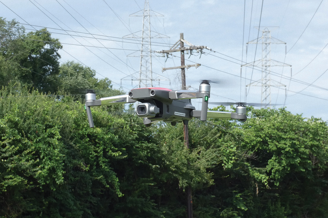
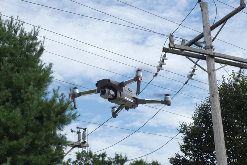
Ameren’s drone program started in 2015 and went fully operational in 2017. In the early days, it was a pilot project with only two operators and a lot of questions about how the technology would fit into our work. Today, our drone program is run as a centralized service, supporting electric transmission and distribution, gas transmission, storage and distribution, our electric generation portfolio and an innumerable amount of supporting corporate services. The centralized structure provides strong governance and provides a single source for standards and trisk mitigation across the company. Safety, airspace compliance, data handling, digital processes relating to remotely sensed data and cybersecurity are also provided with a single point of contact related to UAS and robotics operations within Ameren.
Before drones, inspecting certain lines meant climbing structures or using manned aircraft. Now, we can pilot a drone, capture high-resolution imagery, Infrared, LiDAR and other unique sensor data. The result is a complete view of an asset in a minimally intrusive and highly efficient manner.
Early on in our program development, a major storm swept through one of our service territories, taking down lines and damaging equipment in multiple locations. Leaders in the service territory decided to take us up on the offer to perform damage assessment using drones. We were already beginning our programmatic cyclical inspection of distribution voltage overhead assets, so we had some capability to get into the field and deploy very quickly. Historically, damage assessment was often performed with the use of boots on the ground damage assessors and in extreme cases, helicopters were hired and deployed to cover long distances with efficiency.
Teams were deployed to key circuits with difficult terrain; it quickly became apparent that the use of drones in combination with Ameren’s GIS mapping systems could provide a comprehensive and visual assessment of damage within minutes of arriving on site. In comparison to traditional methods, which would have taken multiple hours to accomplish the same result. That allowed us to feed information quickly to storm management teams to make the most critical repairs and get crews where they were needed first. Drones and analytics allow for potentially shorter restore times when deployed following a storm event and routine inspections can assist in system hardening that can prevent outages altogether.
Over time, drones have moved from being a specialty tool to a part of our regular inspection workflow. We use them on clear days for routine assessments, after storms for emergency response, and in planning phases for infrastructure projects. The more we integrate drones and more importantly, the sensors they carry, the more value is exposed to the operations.
Most flights aren’t post-storm; they’re “blue-sky” inspections aimed at spotting early signs of wear, establishing asset baselines and reducing the odds of future outages.
AI-powered insights
Capturing images is only part of the story. A single inspection flight can generate thousands of photos; a major post-storm survey can generate tens of thousands. Manually reviewing that much data is time-consuming, and we strive to deliver insights to field crews and management in an efficient and timely manner.
This is where AI and automated processes become essential. With the proper digital architecture in place and key models deployed, AI can potentially process images at a scale and speed no human team can match, detecting defects, tracking asset conditions and flagging anomalies in minutes instead of days. Our near-term vision is to deploy a “co-pilot” compute box that operates alongside the drone pilot in the field, allowing us to ingest SD-card data immediately after a flight and return prioritized findings in minutes instead of hours. For utility drone operations, that is effectively real-time, and it keeps our pilots in the air while AI handles the first pass. We work with internal partners and external partners like Buzz Solutions, Esri and EPRI to explore how AI can translate inspection data into clear, prioritized maintenance actions.
Imagine a crew coming off a flight with a full set of inspection images. Instead of sending those into a manual review queue or stopping to review and organize imagery in the field, AI processes them immediately, highlights the top priority issues and provides GPS coordinates, pole tag, asset information and access assessments for each. Decision-makers can dispatch repair crews directly to the most critical points. AI does not replace people. It ensures our skilled inspectors and line workers focus their time on the work that truly matters.
GIS & 3D modelling: A force multiplier
As a career GIS professional, adjunct professor in GIS and certified project management professional, I spent many hours painstakingly designing and integrating geospatial principles into every aspect of our drone and inspections program. The integration is aided by the fact that every image and remotely sensed data output we capture, and every anomaly flagged by AI is geospatially anchored. That means we are not just finding problems; we know exactly where they are, how they have changed over time and how they network within the larger grid.
By integrating drone imagery into our enterprise GIS, we can shorten storm restoration by showing decision-makers exactly where outages are occurring and how to reach them. GIS also supports wildfire risk mapping, vegetation management prioritization and incident modeling. In practice, it turns visual intelligence into operational intelligence, providing the context needed to act with speed and precision. Esri Field Maps and Survey 123 are at the center of every operation, providing real-time information to drone pilots and operators and collecting information critical to fulfilling regulatory requirements.
Lessons & results from the field
Implementing UAS, GIS and AI programs has not been without challenges. We have faced procurement delays, strict cybersecurity requirements, and even years after launch, some people in the company were still not fully aware of how our program can benefit their area of the business.
From day one, I have implemented strict data gov-ernance rules. Drones never connect to our network. Media comes in via SD cards, passes through malicious file scans and goes to high-capacity on-prem servers. Cloud use is limited and bound by federal compliance requirements, so we design workflows with those guardrails in mind.
If there is one takeaway for other utilities, it is that technology alone does not solve problems. Programs like ours need executive leadership support from the start, a centralized governance model and close collaboration across operations, digital, legal and cybersecurity. Without that alignment, even the best tools will not deliver their full value. Some key lessons we’ve learned:
- Secure top-down executive sponsorship early; grassroots efforts will not sustain a corporate program.
- Keep a centralized governance model with representation from operations, digital, legal, sourcing, cyber and other stakeholders.
- Continue to run awareness roadshows and demos to build demand and internal understanding.
- Plan for procurement and hardware constraints tied to unexpected changes like tariffs and supply chain shortages — similar to what we experienced during the pandemic — and diversify sourcing early.
Even with AI and automation still in pilot stages, our storm recovery times are improving because we can assess damage faster and more safely. We are also using imagery and LiDAR to create a detailed reality capture and digital twin models of substations and other sites, improving both planning and training.
Toward a predictive, resilient grid
Whether it’s regular infrastructure inspection or a rapid post-storm assessment, our mission is to deliver safe, reliable power and strengthen the grid for the long term while powering the quality of life for our millions of customers. The combination of drones, sensors, GIS, AI and sheer human ingenuity isn’t just about reviewing images faster; it’s about embedding resilience into every layer of our operations.
With the FAA’s newly proposed BVLOS (beyond visual line of sight) rules and our own series of nationwide BVLOS waivers that we have obtained, we’re already aligning our training, data governance and field operations to scale those capabilities alongside emerging regulatory changes. At the same time, we’re continuing to work with partners like Buzz Solutions, Esri and EPRI for AI, automated reporting and photogrammetric solutions that can turn raw inspection data into actionable insights.
The grid of the future will demand a predictive, data-driven approach that anticipates problems before they cause outages. Resilience isn’t a project with an end date; It’s a daily practice, built into how our department plans, inspects and responds. That commitment will ensure the communities we serve have safe and reliable power, no matter what the future brings.

James Pierce is the manager for UAS Operations and Inspection Services at Ameren. He has directed and managed Ameren’s corporate UAS and Robotics department, working to create and maintain a successful top-tier utility UAS and inspections program. He is an SME in UAS, automated technology, robotics, safety, AI and Deep Learning development, GIS and all aspects relating to spatial data.